
What Old Maps Reveal About How We Imagine Neighboring Nations
Cartography has always been as much a portrait of cultural priorities as a survey of coastlines.

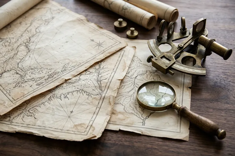
We are taught in primary school to look at a printed map as an objective, scientific mirror of physical reality—a neutral grid of latitude, longitude, rivers, and colored national polygons. Yet spend an afternoon in a historical map archive comparing charts of the same region drawn across five centuries, and you quickly realize that no map is ever merely geographical. Every map is a portrait of what its maker valued, feared, or wished to possess.
Compare a sixteenth-century Indian Ocean navigational chart or a traditional river-pilgrimage scroll with a nineteenth-century colonial revenue survey of the exact same delta. The indigenous scroll maps relationships: seasonal monsoon winds, safe harbor anchorages, shrine towns, and market crossings. The colonial cadastral survey erases the human itinerary and maps taxable land parcels, timber reserves, and military telegraph lines.
"Every map is a silent argument about what deserves to be noticed on the earth and what can be safely ignored."
The Geometry of Center and Periphery
For centuries, mapmakers placed their own civilization at the dead center of the parchment. Medieval European mappaemundi centered Jerusalem; imperial Chinese cartographers centered the Middle Kingdom; and the sixteenth-century Mercator projection—designed to help European mariners sail along lines of constant compass bearing—grossly inflated the apparent land area of high-latitude Northern continents while shrinking equatorial Africa, South Asia, and South America.
Although every geographer knows that Greenland is one-fourteenth the land area of Africa, generations of schoolchildren staring at Mercator wall maps absorbed a subconscious visual hierarchy in which the North looked vast and central while the tropics looked compact and peripheral.
Watersheds Versus Political Lines
Perhaps the most instructive exercise in contemporary cartography is to strip away political border lines and view a continent purely through its river basins, mountain watersheds, and linguistic continuums. Suddenly, regions that look divided on a political atlas reveal their deep ecological unity.
A river does not change its silt load or flood pulse when it crosses a dotted line on a ministry wall map. Upstream deforestation, dam operations, and glacial melt bind neighboring populations into a single hydrological community whether their diplomats admit it or not.
In our quieter moments away from public performance, most of us recognize that a meaningful life is measured less by the velocity of our achievements than by the quality of our attention. Philosophy and personal reflection have never been mere academic exercises; since antiquity, they have served as practical disciplines for ordering our desires, governing our impatience, and clarifying our duties to those around us. Solitude and unhurried reading allow us to examine our own assumptions before we project them onto the world.
Learning to Read Between the Lines of the Atlas
When we look at old maps alongside modern satellite imagery, we learn a healthy skepticism toward rigid mental borders. The lines on our contemporary atlases are recent historical conventions layered over much older human and natural landscapes.
Seeing the earth through multiple cartographic lenses teaches us that our neighbors are never strangers on a separate polygon; they are fellow inhabitants of the same watershed.
Cultivating an inner life of depth requires deliberate boundaries against the machinery of perpetual distraction. By reclaiming time for unscripted conversation, careful journaling, and patient observation of the natural and civic world, we restore our capacity for independent moral judgment. Thoughtfulness is not a retreat from action—it is the soil from which wise and humane action grows.
If we wish to recover a steadier sense of purpose in an age of noise, we must begin with the small, daily choices of where we place our attention. An hour given to patient reading, an unhurried walk with a friend, or honest reflection at the close of day quietly reshapes our character—reminding us that wisdom is always grown slowly.
In conversations with practitioners, archivists, and local residents across multiple regions, one observation recurs with striking consistency: durable progress is never achieved by shortcutting foundational maintenance. Whether in civic administration, scholarly inquiry, or community stewardship, the discipline of attending to small realities over decades is what separates thriving institutions from brittle ones. When we honor that patient craft, we build a future worthy of our shared inheritance.
More in Thoughts
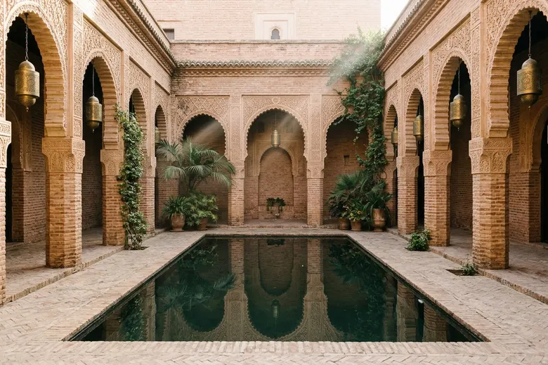
The places where faith and everyday life meet
A cultural essay about shared courtyards, inherited traditions, and the quiet grammar of belonging.

The case for thinking beyond the next headline
A reflective column on attention, historical proportion, and the quiet discipline of asking better questions.
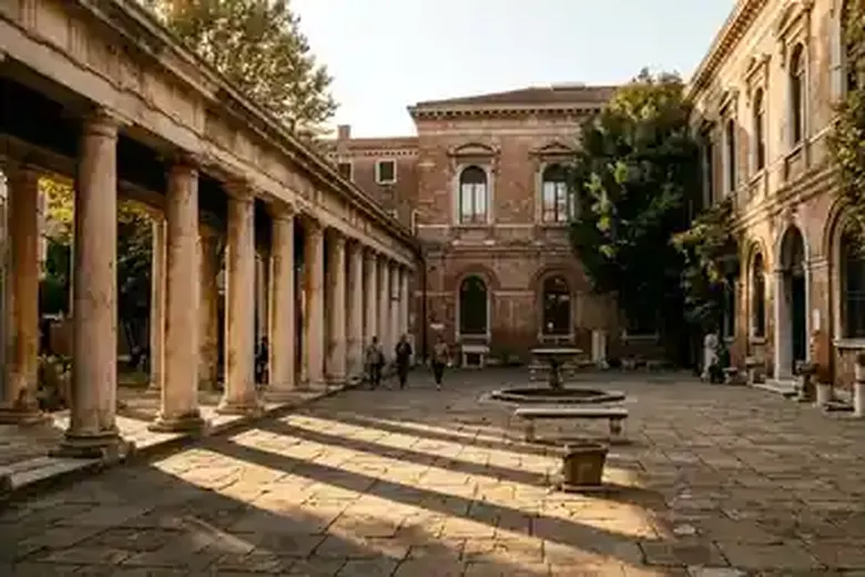
Sacred Calendars in Secular Metropolises: How Cities Keep Time
From lunar fasts to harvest processions, pluralistic cities beat to overlapping rhythms of remembrance and hospitality.